
Thank you for supporting this site ❤️
Make a donation
Make a donation
Rawat topographic map
Click on the map to display elevation.
Thank you for supporting this site ❤️
Make a donation
Make a donation
About this map
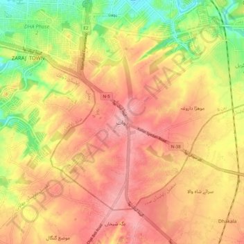
Name: Rawat topographic map, elevation, terrain.
Location: Rawat, Zone V, Islamabad Capital Territory, 45900, Pakistan (33.45684 73.15443 33.53684 73.23443)
Average elevation: 532 m
Minimum elevation: 452 m
Maximum elevation: 586 m
Thank you for supporting this site ❤️
Make a donation
Make a donation
Other topographic maps
Click on a map to view its topography, its elevation and its terrain.
Thank you for supporting this site ❤️
Make a donation
Make a donation
Thank you for supporting this site ❤️
Make a donation
Make a donation