
Plantation topographic map
Interactive map
Click on the map to display elevation.
About this map
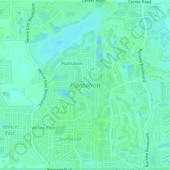
Name: Plantation topographic map, elevation, terrain.
Location: Plantation, Sarasota County, Floride, États-Unis d'Amérique (27.04973 -82.38143 27.07901 -82.35212)
Average elevation: 6 m
Minimum elevation: 2 m
Maximum elevation: 9 m
Other topographic maps
Click on a map to view its topography, its elevation and its terrain.
Sarasota Heights
États-Unis d'Amérique > Floride > Sarasota County > Sarasota > Sarasota Heights
Sarasota Heights, Sarasota, Sarasota County, Floride, 34239, États-Unis d'Amérique
Average elevation: 7 m