
Thank you for supporting this site ❤️
Make a donation
Make a donation
Jester Park topographic map
Click on the map to display elevation.
Thank you for supporting this site ❤️
Make a donation
Make a donation
About this map
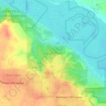
Name: Jester Park topographic map, elevation, terrain.
Location: Jester Park, Polk County, Iowa, United States (41.77700 -93.79416 41.79940 -93.76759)
Average elevation: 273 m
Minimum elevation: 251 m
Maximum elevation: 303 m
Thank you for supporting this site ❤️
Make a donation
Make a donation