
Kagerplassen topographic map
Interactive map
Click on the map to display elevation.
About this map
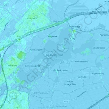
Name: Kagerplassen topographic map, elevation, terrain.
Location: Kagerplassen, Warmond, Teylingen, Zuid-Holland, Nederland (52.18705 4.50672 52.22122 4.60699)
Average elevation: -1 m
Minimum elevation: -6 m
Maximum elevation: 7 m
Other topographic maps
Click on a map to view its topography, its elevation and its terrain.
Landgoed Huys te Warmont
Nederland > Zuid-Holland > Teylingen
Landgoed Huys te Warmont, Herenweg, Warmond, Teylingen, Zuid-Holland, Nederland, 2361SH, Nederland
Average elevation: 0 m