
城东镇 topographic map
Interactive map
Click on the map to display elevation.
About this map
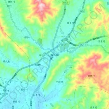
Name: 城东镇 topographic map, elevation, terrain.
Location: 城东镇, 梅州市, 广东省, 中国 (24.33855 116.09922 24.41855 116.17922)
Average elevation: 213 m
Minimum elevation: 83 m
Maximum elevation: 564 m
Other topographic maps
Click on a map to view its topography, its elevation and its terrain.