
Ferguson topographic map
Interactive map
Click on the map to display elevation.
About this map
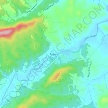
Name: Ferguson topographic map, elevation, terrain.
Location: Ferguson, Wilkes County, North Carolina, United States (36.06569 -81.38843 36.10569 -81.34843)
Average elevation: 368 m
Minimum elevation: 317 m
Maximum elevation: 529 m