
Bukit Kepong topographic map
Interactive map
Click on the map to display elevation.
About this map
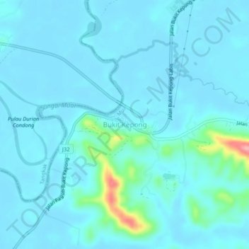
Name: Bukit Kepong topographic map, elevation, terrain.
Location: Bukit Kepong, Muar, Johor, Malaysia (2.32558 102.81196 2.36558 102.85196)
Average elevation: 16 m
Minimum elevation: 3 m
Maximum elevation: 127 m