
支那乡 topographic map
Interactive map
Click on the map to display elevation.
About this map
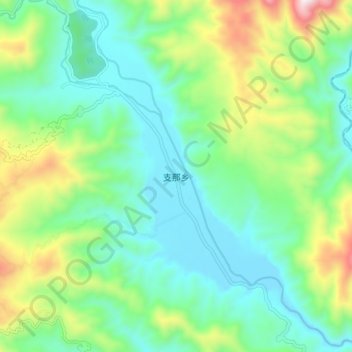
Name: 支那乡 topographic map, elevation, terrain.
Location: 支那乡, 盈江县, 德宏傣族景颇族自治州, 云南省, 665000, 中国 (25.11243 98.08812 25.19243 98.16812)
Average elevation: 1,257 m
Minimum elevation: 1,027 m
Maximum elevation: 1,849 m
Other topographic maps
Click on a map to view its topography, its elevation and its terrain.