
Cerro Pintado topographic map
Interactive map
Click on the map to display elevation.
About this map
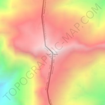
Name: Cerro Pintado topographic map, elevation, terrain.
Average elevation: 3,267 m
Minimum elevation: 2,586 m
Maximum elevation: 3,633 m
Other topographic maps
Click on a map to view its topography, its elevation and its terrain.
Machiques
Venezuela > Estado Zulia > Municipio Machiques de Perijá
Machiques, Parroquia Libertad, Municipio Machiques de Perijá, Estado Zulia, 4021, Venezuela
Average elevation: 197 m