
Liwonde National Park topographic map
Interactive map
Click on the map to display elevation.
About this map
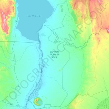
Name: Liwonde National Park topographic map, elevation, terrain.
Location: Liwonde National Park, Balaka, Southern Region, Malawi (-15.05905 35.21925 -14.59427 35.41541)
Average elevation: 590 m
Minimum elevation: 470 m
Maximum elevation: 1,156 m