
巴楚县 topographic map
Interactive map
Click on the map to display elevation.
About this map
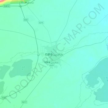
Name: 巴楚县 topographic map, elevation, terrain.
Location: 巴楚县, 喀什地区, 新疆维吾尔自治区, 中国 (39.63966 78.38627 39.95966 78.70627)
Average elevation: 1,119 m
Minimum elevation: 1,105 m
Maximum elevation: 1,290 m
Other topographic maps
Click on a map to view its topography, its elevation and its terrain.