
理坑村 topographic map
Interactive map
Click on the map to display elevation.
About this map
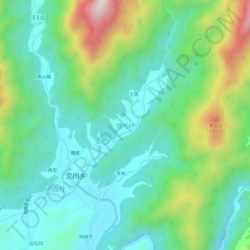
Name: 理坑村 topographic map, elevation, terrain.
Location: 理坑村, 沱川乡, 婺源县, 上饶市, 江西省, 中国 (29.50741 117.80454 29.54741 117.84454)
Average elevation: 387 m
Minimum elevation: 231 m
Maximum elevation: 787 m