
西就 topographic map
Interactive map
Click on the map to display elevation.
About this map
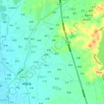
Name: 西就 topographic map, elevation, terrain.
Location: 西就, 台山市, 江门市, 广东省, 中国 (22.11775 112.79997 22.15775 112.83997)
Average elevation: 15 m
Minimum elevation: 1 m
Maximum elevation: 49 m
Other topographic maps
Click on a map to view its topography, its elevation and its terrain.