
Richland topographic map
Interactive map
Click on the map to display elevation.
About this map
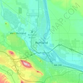
Name: Richland topographic map, elevation, terrain.
Location: Richland, Benton County, Washington, États-Unis d'Amérique (46.19440 -119.40044 46.37063 -119.21148)
Average elevation: 160 m
Minimum elevation: 93 m
Maximum elevation: 483 m
Other topographic maps
Click on a map to view its topography, its elevation and its terrain.
Berrian
États-Unis d'Amérique > Washington > Benton County
Berrian, Benton County, Washington, États-Unis d'Amérique
Average elevation: 161 m