
Ocracoke topographic map
Interactive map
Click on the map to display elevation.
About this map
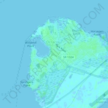
Name: Ocracoke topographic map, elevation, terrain.
Location: Ocracoke, Hyde County, North Carolina, United States (35.10237 -75.98994 35.12078 -75.96104)
Average elevation: 1 m
Minimum elevation: -2 m
Maximum elevation: 5 m
Other topographic maps
Click on a map to view its topography, its elevation and its terrain.
Ocracoke
United States > North Carolina > Hyde County > Ocracoke
Ocracoke, Hyde County, North Carolina, 27960, United States
Average elevation: 1 m
Ocracoke Island
United States > North Carolina > Hyde County > Ocracoke
Ocracoke Island, Ocracoke, Hyde County, North Carolina, United States
Average elevation: 0 m