
Fosterville topographic map
Interactive map
Click on the map to display elevation.
About this map
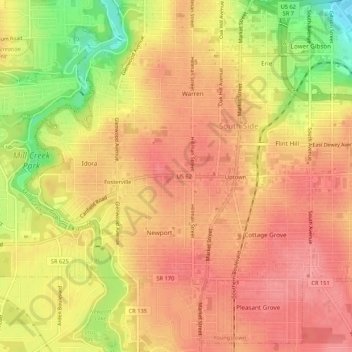
Name: Fosterville topographic map, elevation, terrain.
Location: Fosterville, Mahoning County, Ohio, 44507, USA (41.05261 -80.68649 41.09261 -80.64649)
Average elevation: 314 m
Minimum elevation: 256 m
Maximum elevation: 342 m
Other topographic maps
Click on a map to view its topography, its elevation and its terrain.
Fosterville
USA > Ohio > Fosterville
Fosterville, Mahoning County, Ohio, 44507, USA
Average elevation: 314 m