
Aramayona topographic map
Interactive map
Click on the map to display elevation.
About this map
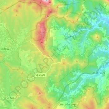
Name: Aramayona topographic map, elevation, terrain.
Location: Aramayona, Estribaciones del Gorbea, Álava, País Vasco, España (42.98225 -2.66124 43.08801 -2.52485)
Average elevation: 578 m
Minimum elevation: 231 m
Maximum elevation: 1,303 m