
sandy island topographic map
Interactive map
Click on the map to display elevation.
About this map
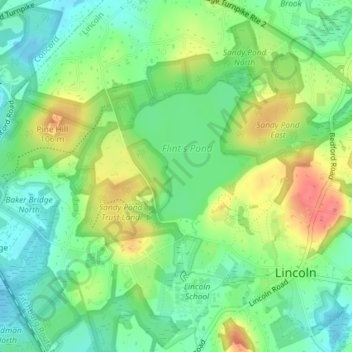
Name: sandy island topographic map, elevation, terrain.
Location: sandy island, Lincoln, Middlesex County, Massachusetts, USA (42.43313 -71.31666 42.43353 -71.31618)
Average elevation: 76 m
Minimum elevation: 51 m
Maximum elevation: 115 m