
Tarigopula topographic map
Interactive map
Click on the map to display elevation.
About this map
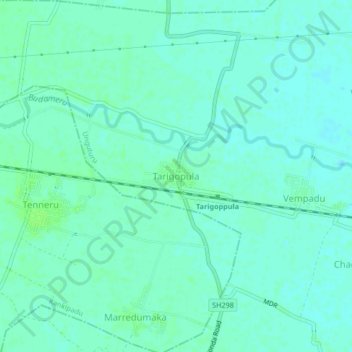
Name: Tarigopula topographic map, elevation, terrain.
Average elevation: 12 m
Minimum elevation: 8 m
Maximum elevation: 16 m
Other topographic maps
Click on a map to view its topography, its elevation and its terrain.
Kothapet
India > Andhra Pradesh > Unguturu
Kothapet, Unguturu, Krishna, Andhra Pradesh, 521109, India
Average elevation: 9 m
Manikonda
India > Andhra Pradesh > Unguturu
Manikonda, Unguturu, Krishna, Andhra Pradesh, 521164, India
Average elevation: 12 m