
Nahuatzen topographic map
Interactive map
Click on the map to display elevation.
About this map
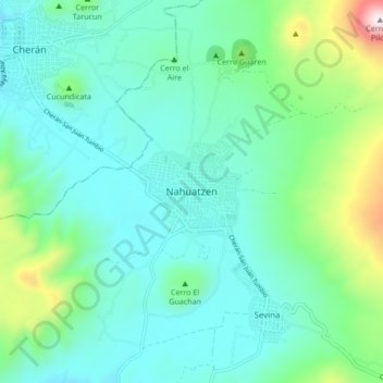
Name: Nahuatzen topographic map, elevation, terrain.
Location: Nahuatzen, Michoacán de Ocampo, 60270, México (19.61463 -101.95733 19.69463 -101.87733)
Average elevation: 2,544 m
Minimum elevation: 2,330 m
Maximum elevation: 3,378 m