
沙河街道 topographic map
Interactive map
Click on the map to display elevation.
About this map
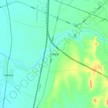
Name: 沙河街道 topographic map, elevation, terrain.
Location: 沙河街道, 沈阳市, 辽宁省, 中国 (41.55290 123.36400 41.63290 123.44400)
Average elevation: 48 m
Minimum elevation: 35 m
Maximum elevation: 85 m
Other topographic maps
Click on a map to view its topography, its elevation and its terrain.