
Thank you for supporting this site ❤️
Make a donation
Make a donation
Ridgeway topographic map
Click on the map to display elevation.
Thank you for supporting this site ❤️
Make a donation
Make a donation
About this map
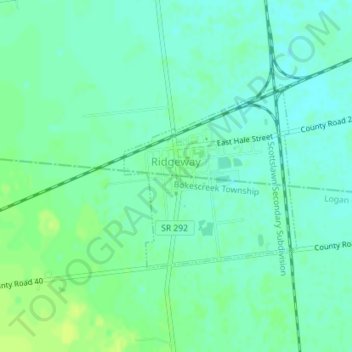
Name: Ridgeway topographic map, elevation, terrain.
Location: Ridgeway, Hale Township, Hardin County, Ohio, United States (40.50602 -83.57853 40.52013 -83.56105)
Average elevation: 323 m
Minimum elevation: 317 m
Maximum elevation: 331 m
Thank you for supporting this site ❤️
Make a donation
Make a donation
Other topographic maps
Click on a map to view its topography, its elevation and its terrain.
Thank you for supporting this site ❤️
Make a donation
Make a donation
Roundhead
United States > Ohio > Hardin County
Located at an altitude of 1,004 feet (306 m), it sits at the intersection of State Routes 117, 235, and 385, 2.75 miles (4.43 km) north of the northeast corner of Indian Lake and 13 miles (21 km) southwest of the city of Kenton, the county seat of Hardin County. Despite Roundhead's proximity to Indian Lake and…
Average elevation: 311 m
Thank you for supporting this site ❤️
Make a donation
Make a donation
Thank you for supporting this site ❤️
Make a donation
Make a donation
Thank you for supporting this site ❤️
Make a donation
Make a donation