
Belkheir topographic map
Interactive map
Click on the map to display elevation.
About this map
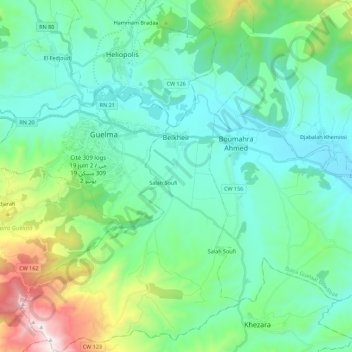
Name: Belkheir topographic map, elevation, terrain.
Location: Belkheir, Daïra Guelaat Bou Sbaa, Guelma, 24100, Algérie (36.35413 7.37785 36.53326 7.52553)
Average elevation: 400 m
Minimum elevation: 134 m
Maximum elevation: 1,395 m
Other topographic maps
Click on a map to view its topography, its elevation and its terrain.
Boumahra Ahmed
Algérie > Guelma > Daïra Guelaat Bou Sbaa
Boumahra Ahmed, Daïra Guelaat Bou Sbaa, Guelma, Algérie
Average elevation: 295 m