
Peneda topographic map
Interactive map
Click on the map to display elevation.
About this map
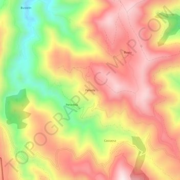
Name: Peneda topographic map, elevation, terrain.
Location: Peneda, Ibias, Asturies, 33810, Espagne (43.02762 -6.93943 43.06762 -6.89943)
Average elevation: 651 m
Minimum elevation: 285 m
Maximum elevation: 918 m