
黃大仙區 topographic map
Interactive map
Click on the map to display elevation.
About this map
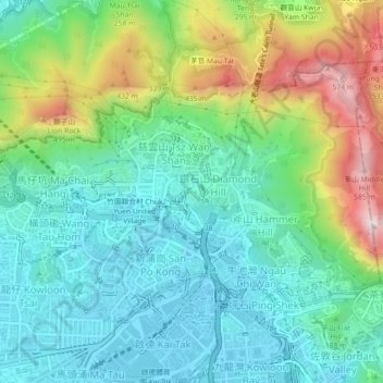
Name: 黃大仙區 topographic map, elevation, terrain.
Location: 黃大仙區, 九龍, 香港, 中国 (22.33043 114.17946 22.35841 114.22405)
Average elevation: 172 m
Minimum elevation: -3 m
Maximum elevation: 590 m
Other topographic maps
Click on a map to view its topography, its elevation and its terrain.