
Wallingford topographic map
Interactive map
Click on the map to display elevation.
About this map
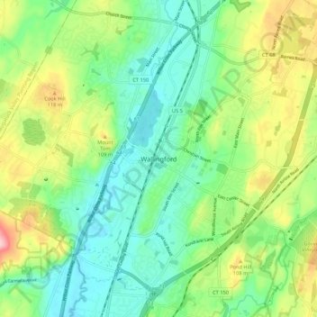
Name: Wallingford topographic map, elevation, terrain.
Location: Wallingford, New Haven County, Connecticut, 06492, USA (41.41704 -72.86316 41.49704 -72.78316)
Average elevation: 61 m
Minimum elevation: 2 m
Maximum elevation: 179 m