
来历 topographic map
Interactive map
Click on the map to display elevation.
About this map
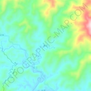
Name: 来历 topographic map, elevation, terrain.
Location: 来历, 藤县, 梧州市, 广西壮族自治区, 543000, 中国 (23.83420 110.47800 23.87420 110.51800)
Average elevation: 166 m
Minimum elevation: 78 m
Maximum elevation: 408 m
Other topographic maps
Click on a map to view its topography, its elevation and its terrain.