
Webb topographic map
Interactive map
Click on the map to display elevation.
About this map
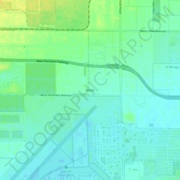
Name: Webb topographic map, elevation, terrain.
Location: Webb, Maricopa County, Arizona, 85309, USA (33.53254 -112.38710 33.57254 -112.34710)
Average elevation: 334 m
Minimum elevation: 326 m
Maximum elevation: 348 m