
Kamlot topographic map
Interactive map
Click on the map to display elevation.
About this map
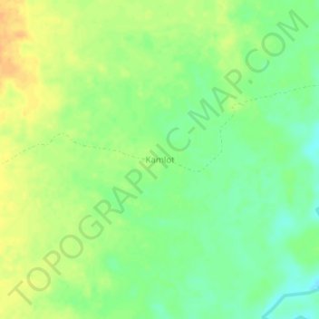
Name: Kamlot topographic map, elevation, terrain.
Location: Kamlot, Koh Kong, Cambodia (11.44193 103.69065 11.48193 103.73065)
Average elevation: 23 m
Minimum elevation: 7 m
Maximum elevation: 38 m