
Thank you for supporting this site ❤️
Make a donation
Make a donation
Shibuyunji topographic map
Click on the map to display elevation.
Thank you for supporting this site ❤️
Make a donation
Make a donation
About this map
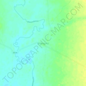
Name: Shibuyunji topographic map, elevation, terrain.
Location: Shibuyunji, Shibuyunji District, Central Province, Zambia (-15.46815 27.80865 -15.42815 27.84865)
Average elevation: 989 m
Minimum elevation: 981 m
Maximum elevation: 1,000 m
Thank you for supporting this site ❤️
Make a donation
Make a donation
Other topographic maps
Click on a map to view its topography, its elevation and its terrain.