
Chayanta topographic map
Interactive map
Click on the map to display elevation.
About this map
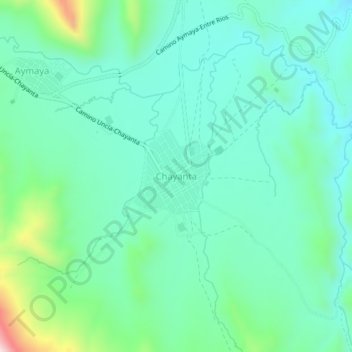
Name: Chayanta topographic map, elevation, terrain.
Location: Chayanta, Provincia Rafael Bustillo, Potosí, Bolívia (-18.48030 -66.46374 -18.44030 -66.42374)
Average elevation: 3,761 m
Minimum elevation: 3,658 m
Maximum elevation: 4,118 m