
Castiellu topographic map
Interactive map
Click on the map to display elevation.
About this map
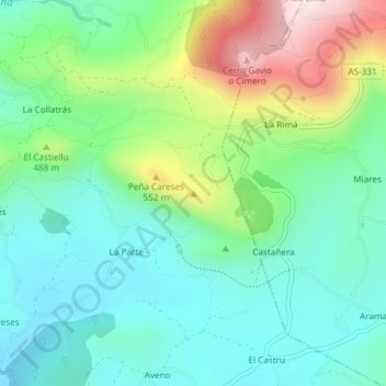
Name: Castiellu topographic map, elevation, terrain.
Location: Castiellu, Siero, Asturias, 33518, España (43.42014 -5.60302 43.42024 -5.60292)
Average elevation: 381 m
Minimum elevation: 239 m
Maximum elevation: 724 m