
Battle Lake topographic map
Interactive map
Click on the map to display elevation.
About this map
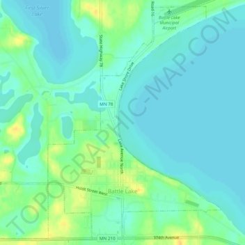
Name: Battle Lake topographic map, elevation, terrain.
Location: Battle Lake, Otter Tail County, Minnesota, United States (46.27463 -95.74260 46.30607 -95.69466)
Average elevation: 410 m
Minimum elevation: 402 m
Maximum elevation: 429 m