
Kampung Lembah Keriang topographic map
Interactive map
Click on the map to display elevation.
About this map
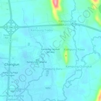
Name: Kampung Lembah Keriang topographic map, elevation, terrain.
Average elevation: 34 m
Minimum elevation: 19 m
Maximum elevation: 157 m
Other topographic maps
Click on a map to view its topography, its elevation and its terrain.
Sungai Tok Mas
Malaysia > Kedah > Kampung Baru
Sungai Tok Mas, Kampung Baru, Bukit Kachi, Kubang Pasu, Kedah, 06010, Malaysia
Average elevation: 27 m