
Thank you for supporting this site ❤️
Make a donation
Make a donation
Terre Sainte topographic map
Click on the map to display elevation.
Thank you for supporting this site ❤️
Make a donation
Make a donation
About this map
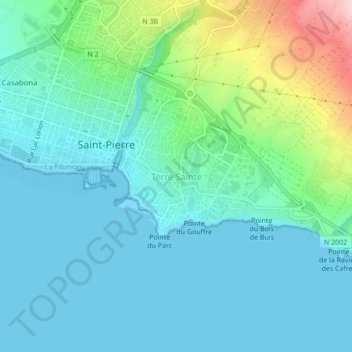
Name: Terre Sainte topographic map, elevation, terrain.
Location: Terre Sainte, Saint-Pierre, Réunion, 97410, France (-21.36495 55.46619 -21.32495 55.50619)
Average elevation: 50 m
Minimum elevation: 0 m
Maximum elevation: 242 m
Thank you for supporting this site ❤️
Make a donation
Make a donation