
Grüna topographic map
Interactive map
Click on the map to display elevation.
About this map
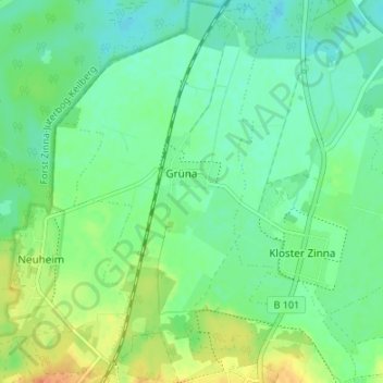
Name: Grüna topographic map, elevation, terrain.
Location: Grüna, Jüterbog, Teltow-Fläming, Brandenburg, Deutschland (52.00845 13.06391 52.04977 13.10113)
Average elevation: 68 m
Minimum elevation: 55 m
Maximum elevation: 91 m