
八尺江 topographic map
Interactive map
Click on the map to display elevation.
About this map
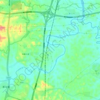
Name: 八尺江 topographic map, elevation, terrain.
Location: 八尺江, 良庆区, 南宁市, 广西壮族自治区, 中国 (22.63766 108.37185 22.66852 108.42560)
Average elevation: 92 m
Minimum elevation: 63 m
Maximum elevation: 167 m
Other topographic maps
Click on a map to view its topography, its elevation and its terrain.