
Crater Lake topographic map
Interactive map
Click on the map to display elevation.
About this map
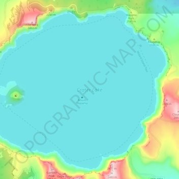
Name: Crater Lake topographic map, elevation, terrain.
Location: Crater Lake, Klamath County, Oregon, États-Unis d'Amérique (42.90431 -122.16453 42.97874 -122.04998)
Average elevation: 1,971 m
Minimum elevation: 1,853 m
Maximum elevation: 2,483 m
Situé à 1 883 mètres d'altitude, le lac du Crater Lake est le plus profond des États-Unis avec une profondeur de 592 mètres.