
Ogden topographic map
Interactive map
Click on the map to display elevation.
About this map
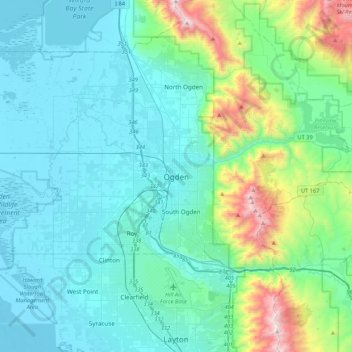
Name: Ogden topographic map, elevation, terrain.
Location: Ogden, Weber County, Utah, 84403, États-Unis d'Amérique (41.06300 -112.13384 41.38300 -111.81384)
Average elevation: 1,557 m
Minimum elevation: 1,279 m
Maximum elevation: 2,946 m