
El Castro topographic map
Interactive map
Click on the map to display elevation.
About this map
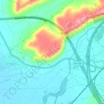
Name: El Castro topographic map, elevation, terrain.
Location: El Castro, Tardajos, Burgos, Castilla y León, 09130, España (42.34174 -3.81417 42.36174 -3.79417)
Average elevation: 846 m
Minimum elevation: 819 m
Maximum elevation: 921 m