
Mushili topographic map
Interactive map
Click on the map to display elevation.
About this map
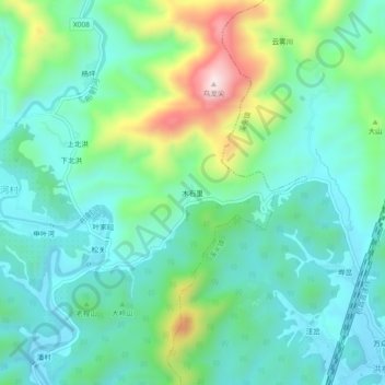
Name: Mushili topographic map, elevation, terrain.
Location: Mushili, Guilin, She County, Huangshan City, Anhui, China (29.97006 118.40329 30.01006 118.44329)
Average elevation: 265 m
Minimum elevation: 151 m
Maximum elevation: 593 m