
Hangar topographic map
Interactive map
Click on the map to display elevation.
About this map
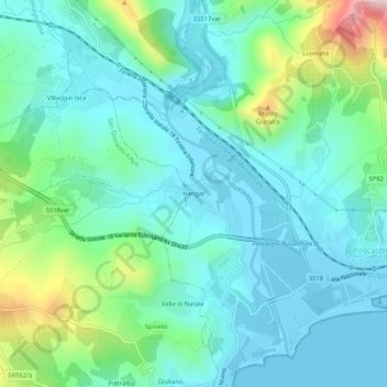
Name: Hangar topographic map, elevation, terrain.
Location: Hangar, Santa Marina, Salerno, Kampanien, 84067, Italien (40.06243 15.47752 40.10243 15.51752)
Average elevation: 91 m
Minimum elevation: -2 m
Maximum elevation: 420 m