
Bansa topographic map
Interactive map
Click on the map to display elevation.
About this map
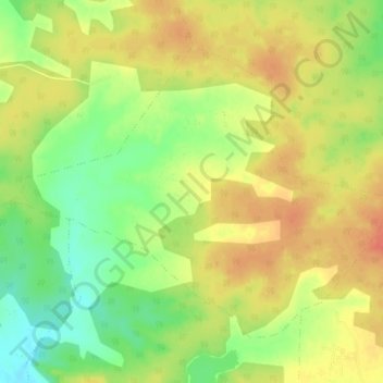
Name: Bansa topographic map, elevation, terrain.
Average elevation: 466 m
Minimum elevation: 439 m
Maximum elevation: 486 m
Other topographic maps
Click on a map to view its topography, its elevation and its terrain.
Mamala
India > Madhya Pradesh > Shahdol District
Mamala, Jaitpur Tahsil, Shahdol District, Madhya Pradesh, India
Average elevation: 515 m