
San José topographic map
Interactive map
Click on the map to display elevation.
About this map
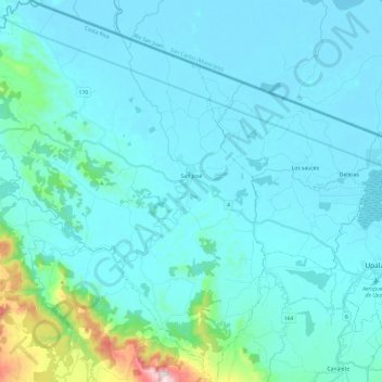
Name: San José topographic map, elevation, terrain.
Location: San José, Cantón Upala, Alajuela Province, 21303, Costa Rica (10.82865 -85.29016 11.06560 -85.08674)
Average elevation: 97 m
Minimum elevation: 31 m
Maximum elevation: 677 m