
红杉林 topographic map
Interactive map
Click on the map to display elevation.
About this map
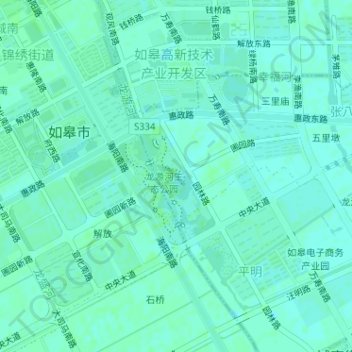
Name: 红杉林 topographic map, elevation, terrain.
Location: 红杉林, 张八里社区, 城南街道, 如皋市, 南通市, 江苏省, 226500, 中国 (32.36910 120.57780 32.37084 120.58011)
Average elevation: 6 m
Minimum elevation: 3 m
Maximum elevation: 8 m
Other topographic maps
Click on a map to view its topography, its elevation and its terrain.