
Yorkville topographic map
Interactive map
Click on the map to display elevation.
About this map
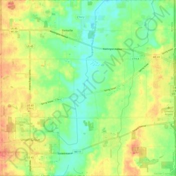
Name: Yorkville topographic map, elevation, terrain.
Location: Yorkville, Racine County, Wisconsin, United States (42.66955 -88.07174 42.75706 -87.95294)
Average elevation: 231 m
Minimum elevation: 210 m
Maximum elevation: 255 m