
Rira topographic map
Interactive map
Click on the map to display elevation.
About this map
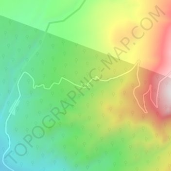
Name: Rira topographic map, elevation, terrain.
Location: Rira, Bale, Oromia Region, Ethiopia (6.75636 39.72142 6.79636 39.76142)
Average elevation: 3,172 m
Minimum elevation: 2,786 m
Maximum elevation: 3,756 m