
Oostereinde topographic map
Interactive map
Click on the map to display elevation.
About this map
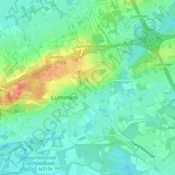
Name: Oostereinde topographic map, elevation, terrain.
Location: Oostereinde, Lummen, Hasselt, Limburg, 3560, België (50.96847 5.18040 51.00847 5.22040)
Average elevation: 31 m
Minimum elevation: 17 m
Maximum elevation: 65 m