
Lizin topographic map
Interactive map
Click on the map to display elevation.
About this map
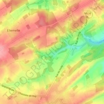
Name: Lizin topographic map, elevation, terrain.
Location: Lizin, Ouffet, Huy, Liège, Wallonie, 4590, Belgique (50.43822 5.44670 50.47822 5.48670)
Average elevation: 263 m
Minimum elevation: 206 m
Maximum elevation: 304 m
Other topographic maps
Click on a map to view its topography, its elevation and its terrain.