
Malcolm topographic map
Interactive map
Click on the map to display elevation.
About this map
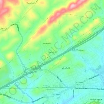
Name: Malcolm topographic map, elevation, terrain.
Location: Malcolm, Washington County, Virginia, 37621, USA (36.58955 -82.23930 36.62955 -82.19930)
Average elevation: 572 m
Minimum elevation: 506 m
Maximum elevation: 712 m